Western Tibet
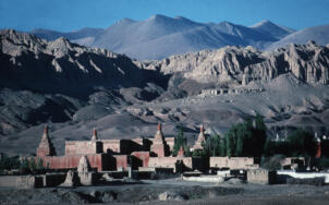
Tholing hillside
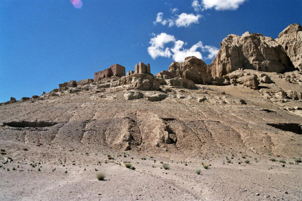
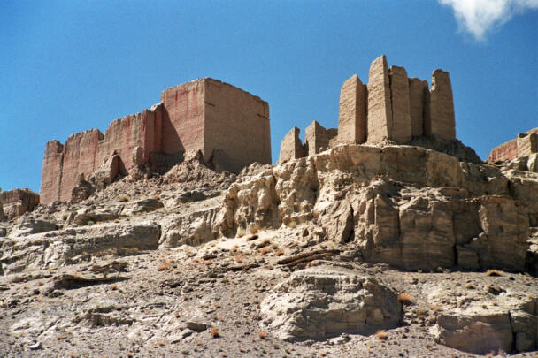
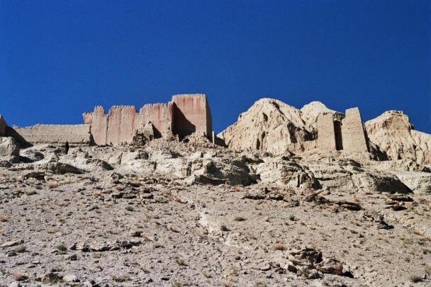
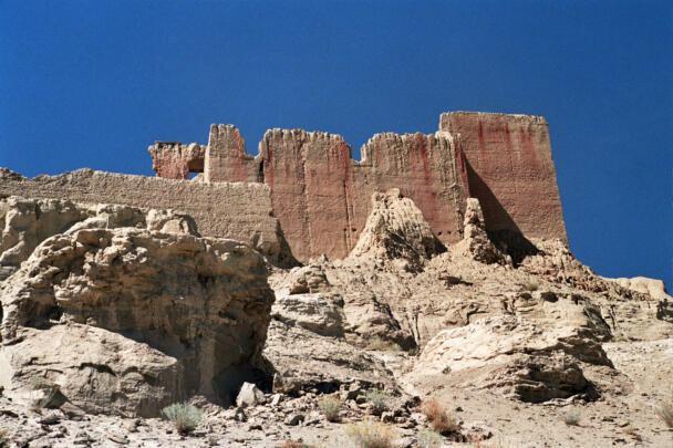
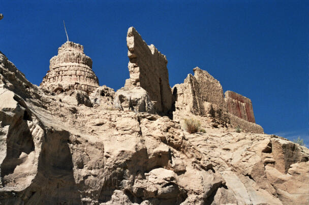
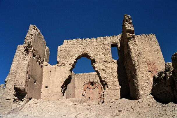
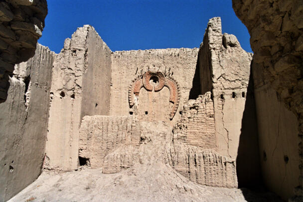
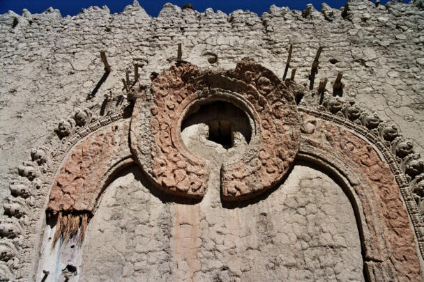
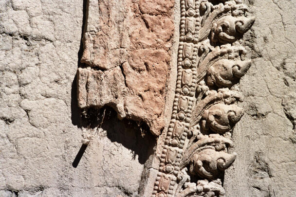
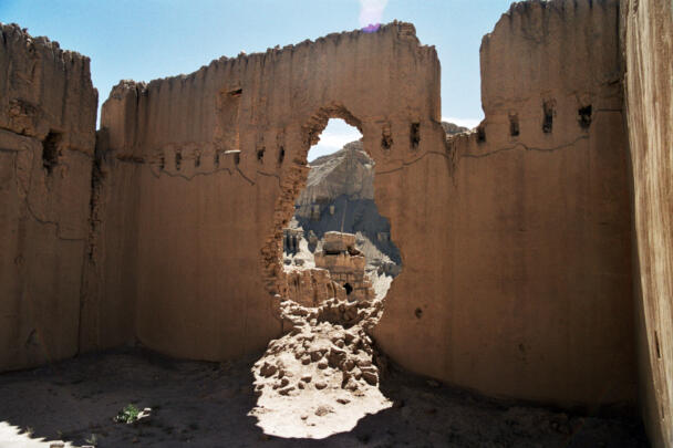
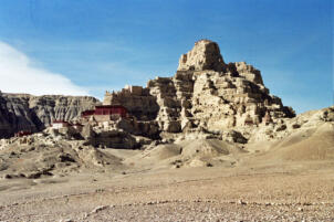
The temple ruin near Tholing
Coordinates of the site: 31°28’28.82″ northern latitude and 79°47’27.96″ eastern longitude, at an altitude of 3796 meters.
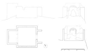
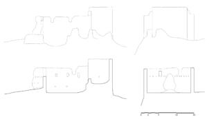
The imposing ruin is located on the mountainside near Tholing, about 1.15 kilometres (airline) southwest of the monastic complex. The outer walls survived and give an overall impression of the former building. The remains consist of a small entry hall and an assembly hall with an apse and suggest clearly that the building once was a temple. The main axis of the temple ruin is orientated southeast-northwest with a former entrance facing southeast. The structure shows a nearly square main room measuring 11.86 x 12.42 metres. The length of the outer side walls amounts to 13.66 metres with a height of about 6.85 metres. The apse measures approximately 6.00 x 8.00 metres; its walls are about two metres higher than the walls of the main room. Additionally the floor level of the apse is remarkable higher (2.50 metres) than in the main room. The wall thicknesses are about 90 centimetres. The partly preserved plaster modelling of the circular halo on the north-western wall of the apse, where once the sculptural decoration was fixed, is indicative of a high-quality artwork. Even the wooden peg that supported the figure is still visible. Around the temple ruin other walls and chörten-like structures are discernible underlining the former importance of the site.
Also see: Dimensioned plan drawings of Tholing. Repository TU Graz, 2024.
Cf. Neuwirth & Auer 2021: The Ancient Monastic Complexes of Tholing, Nyarma and Tabo, pp.101-111, Open Access E-Book.
More from
