Ladakh
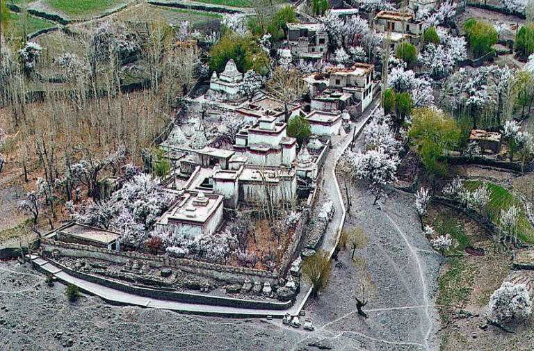
Kanji


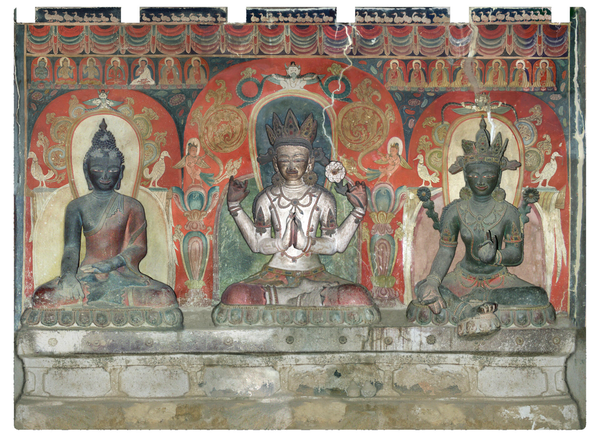
The temple of kanji
Coordinates of the site: 34°13’55.53″ northern latitude and 76°36’23.02″ eastern longitude, at an altitude of 3856 meters.
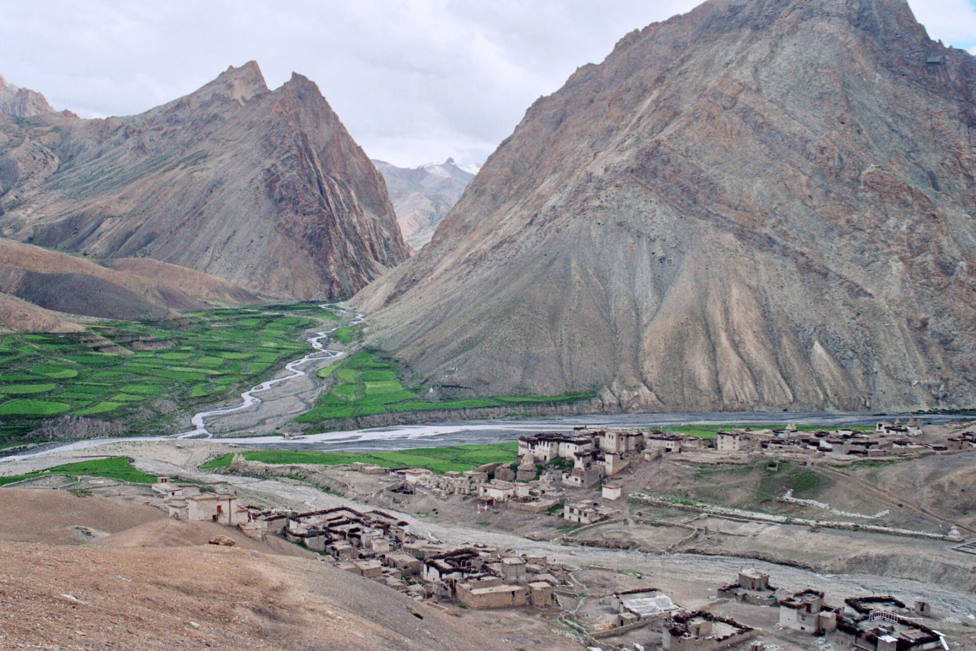
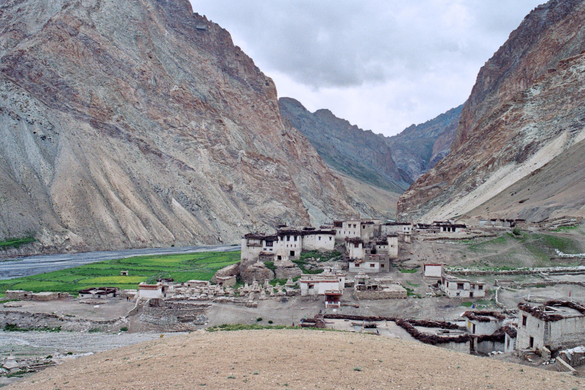
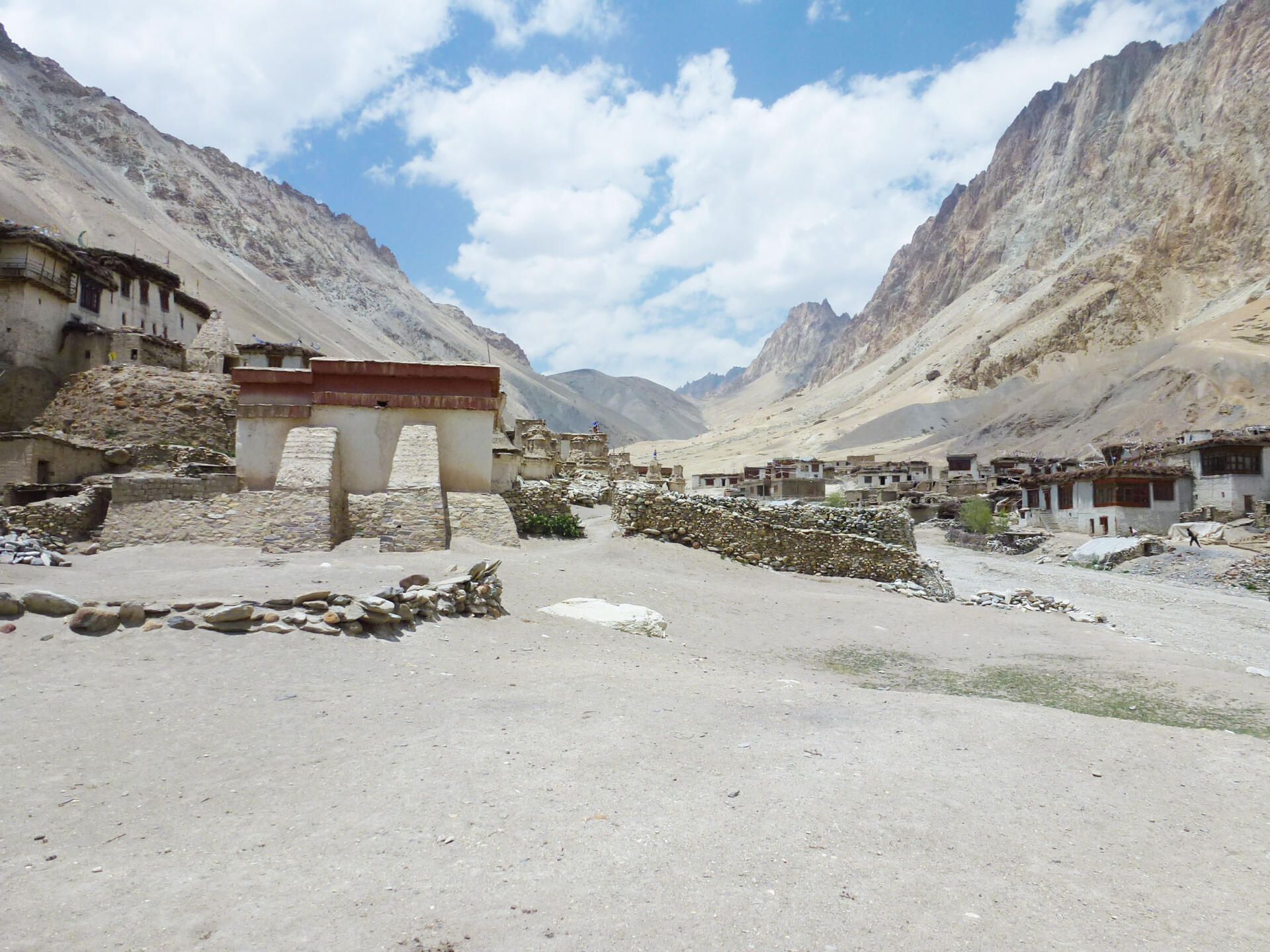
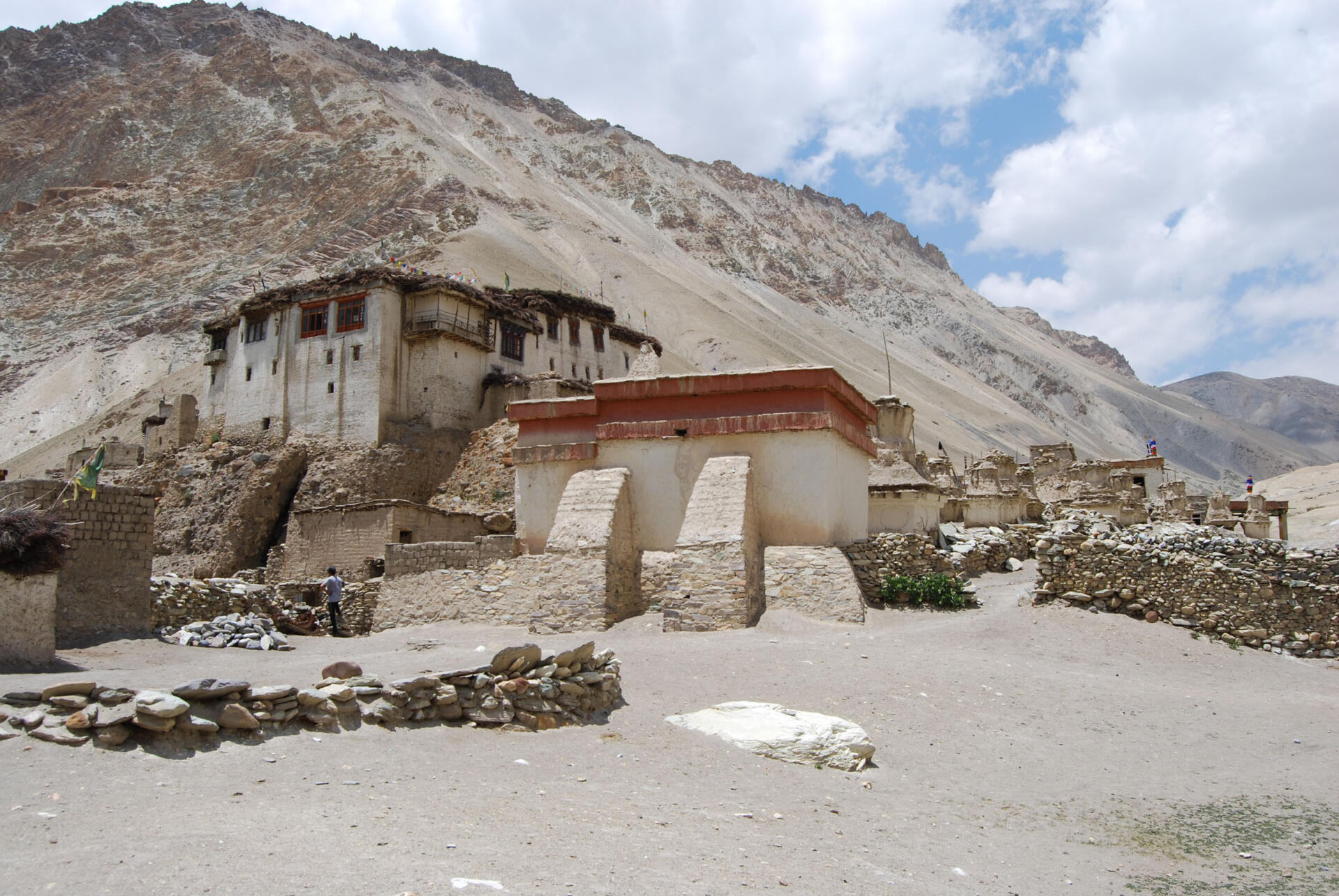
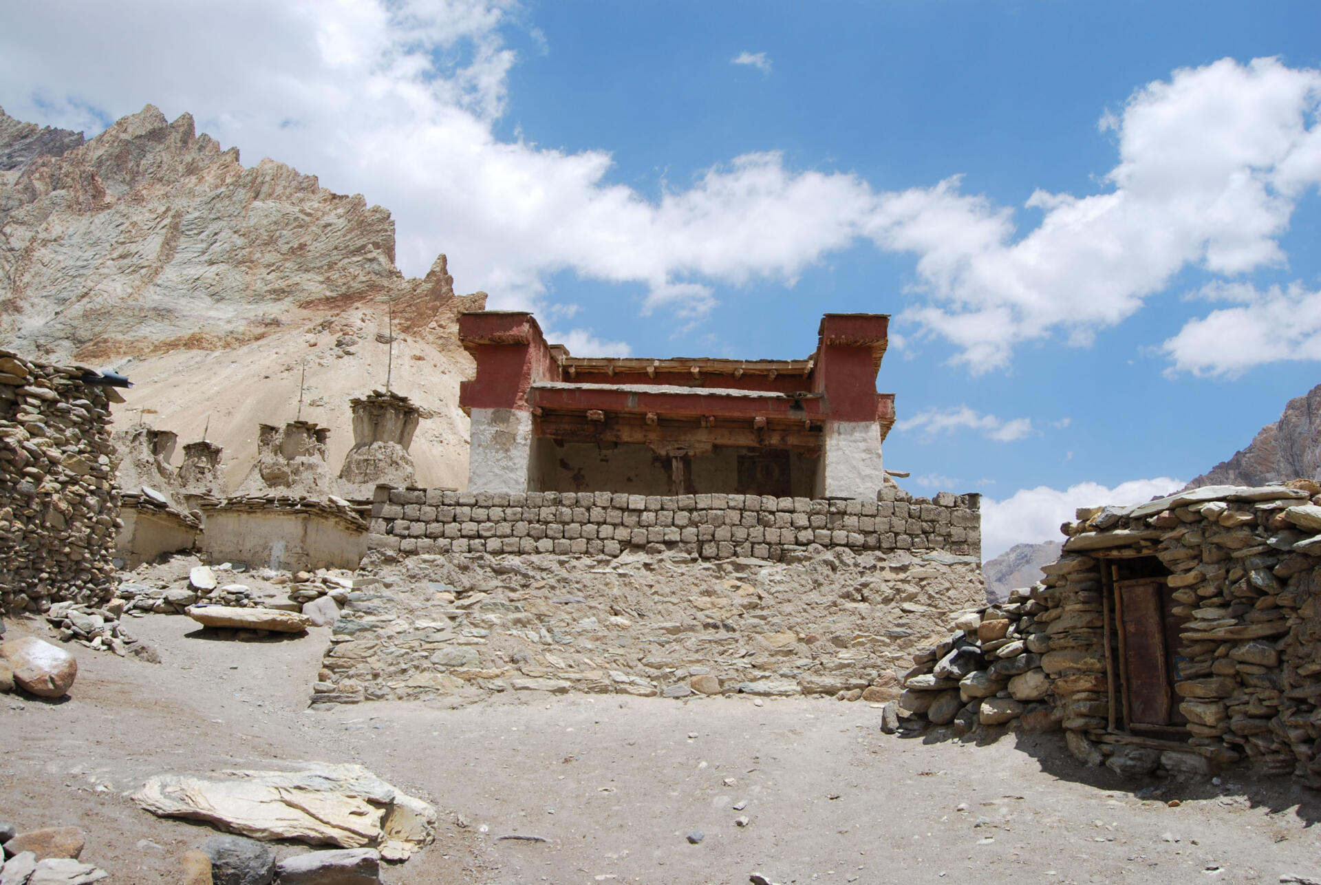
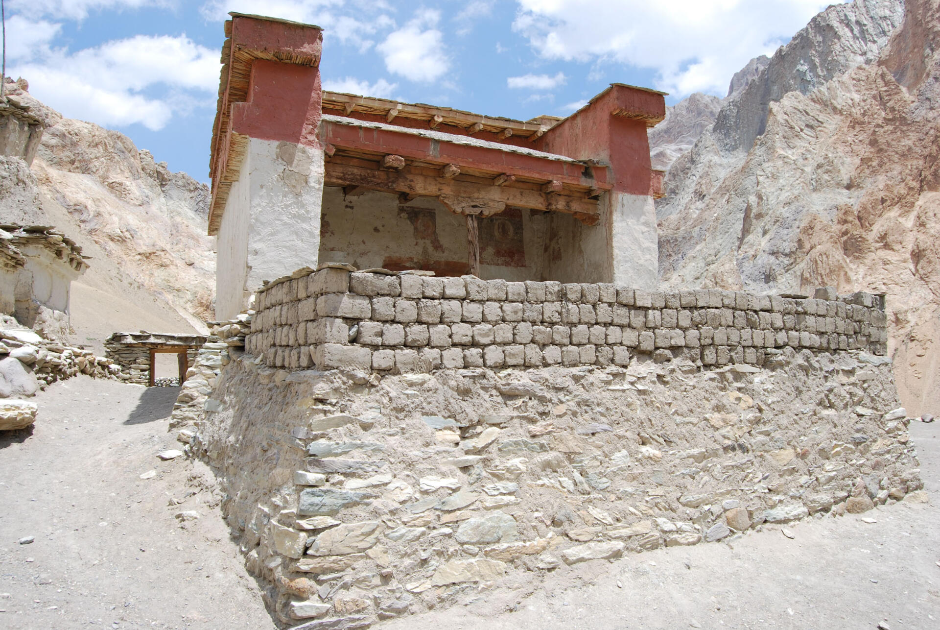
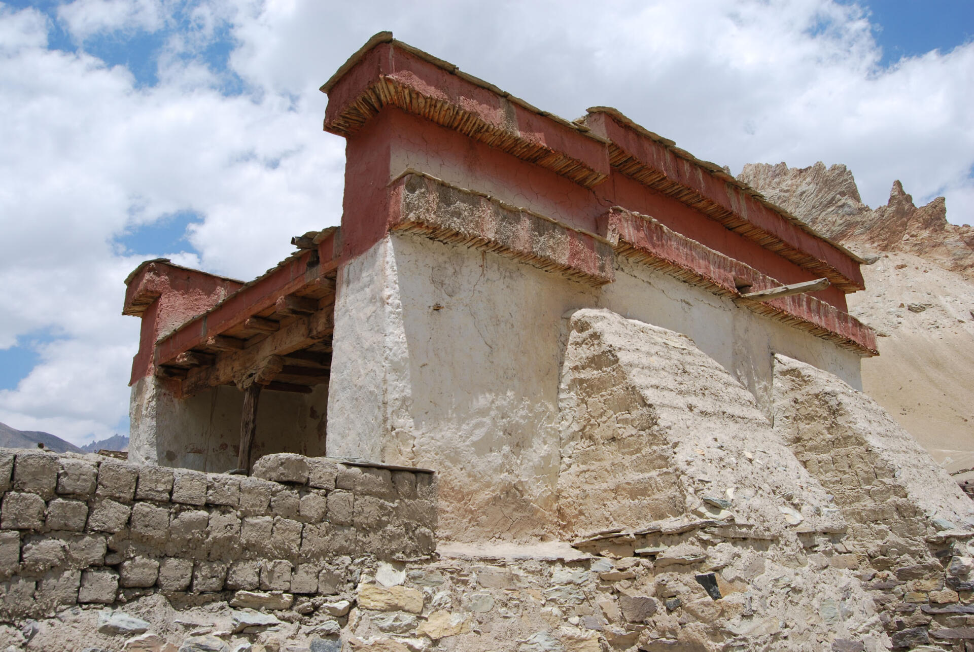
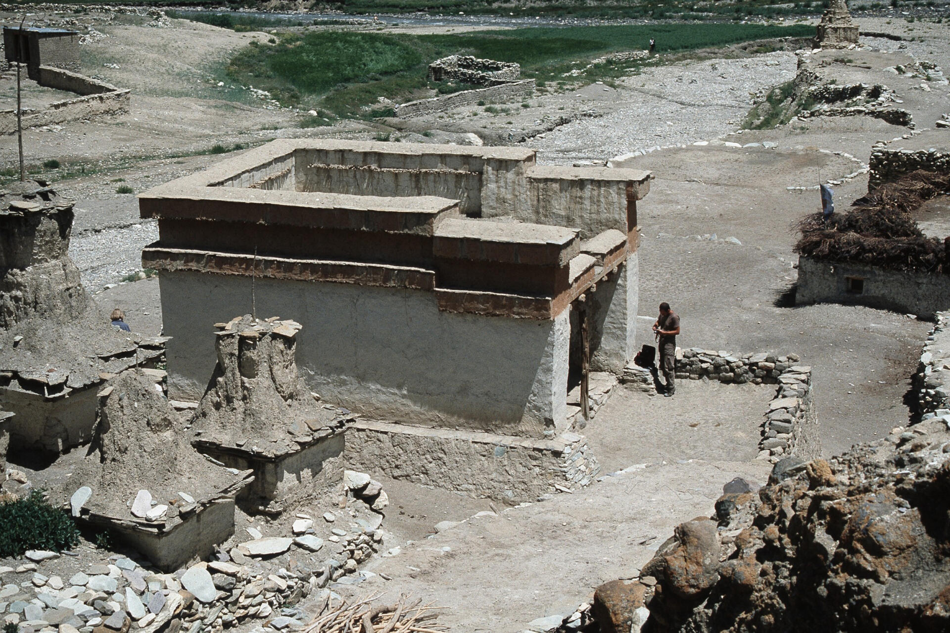
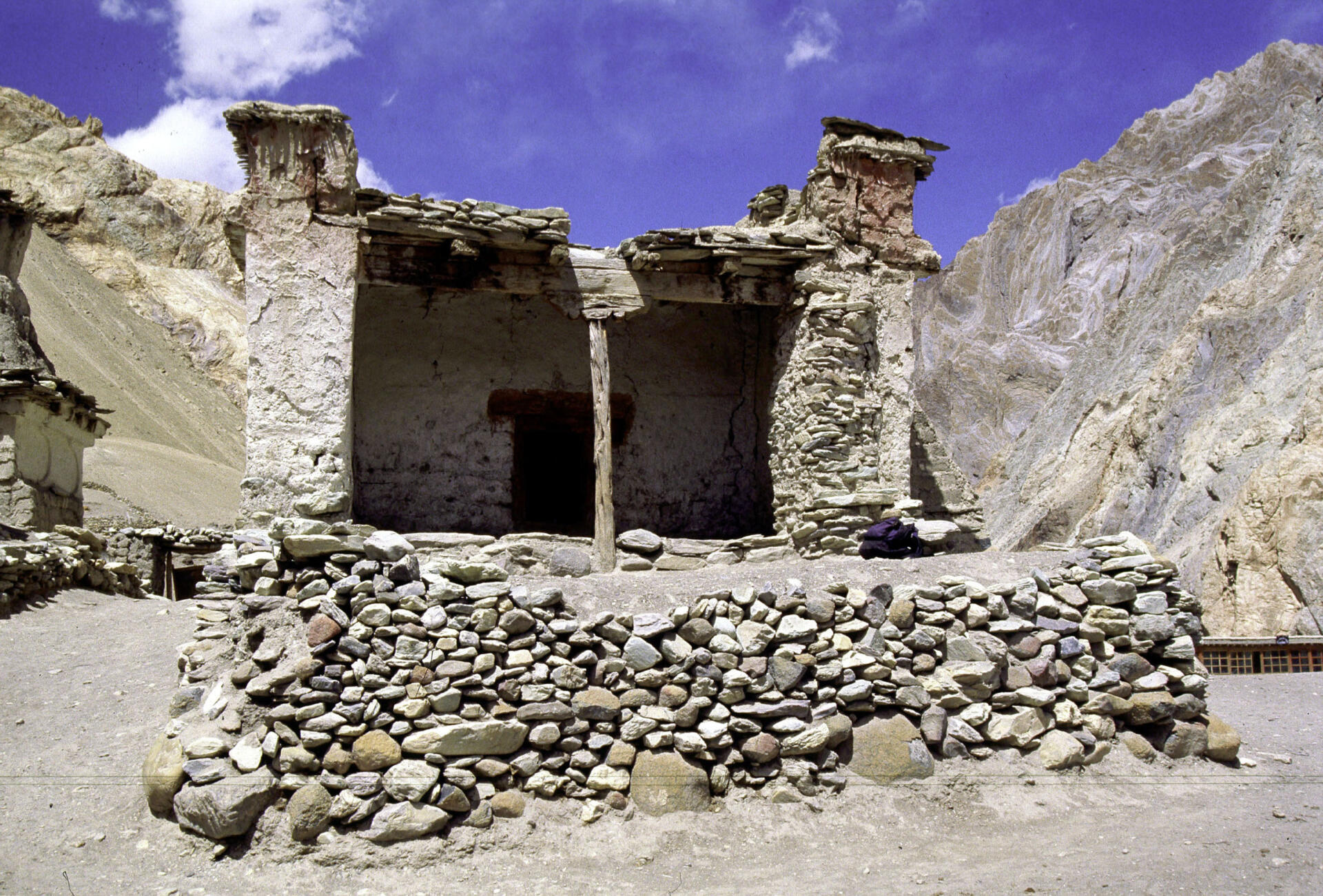
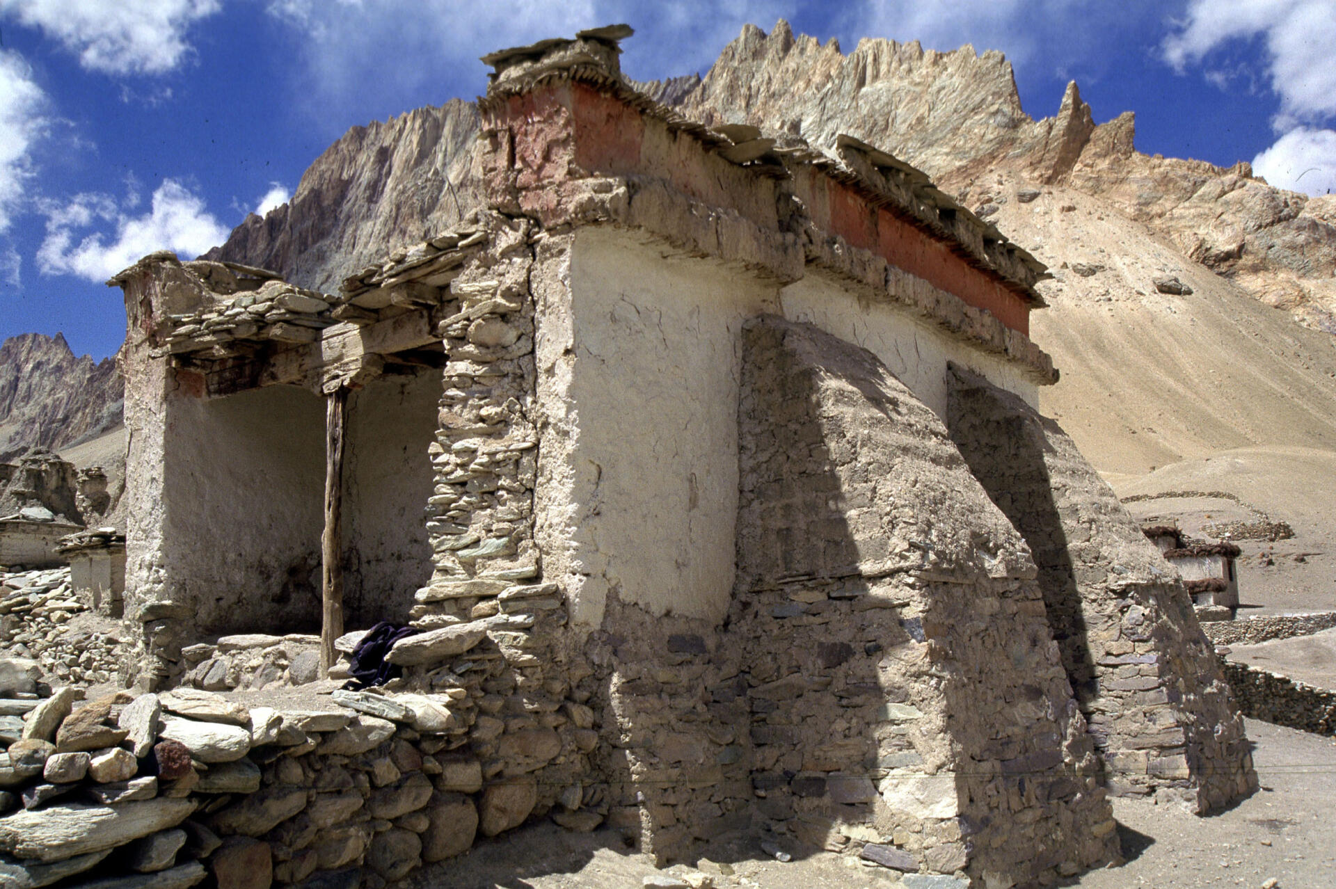
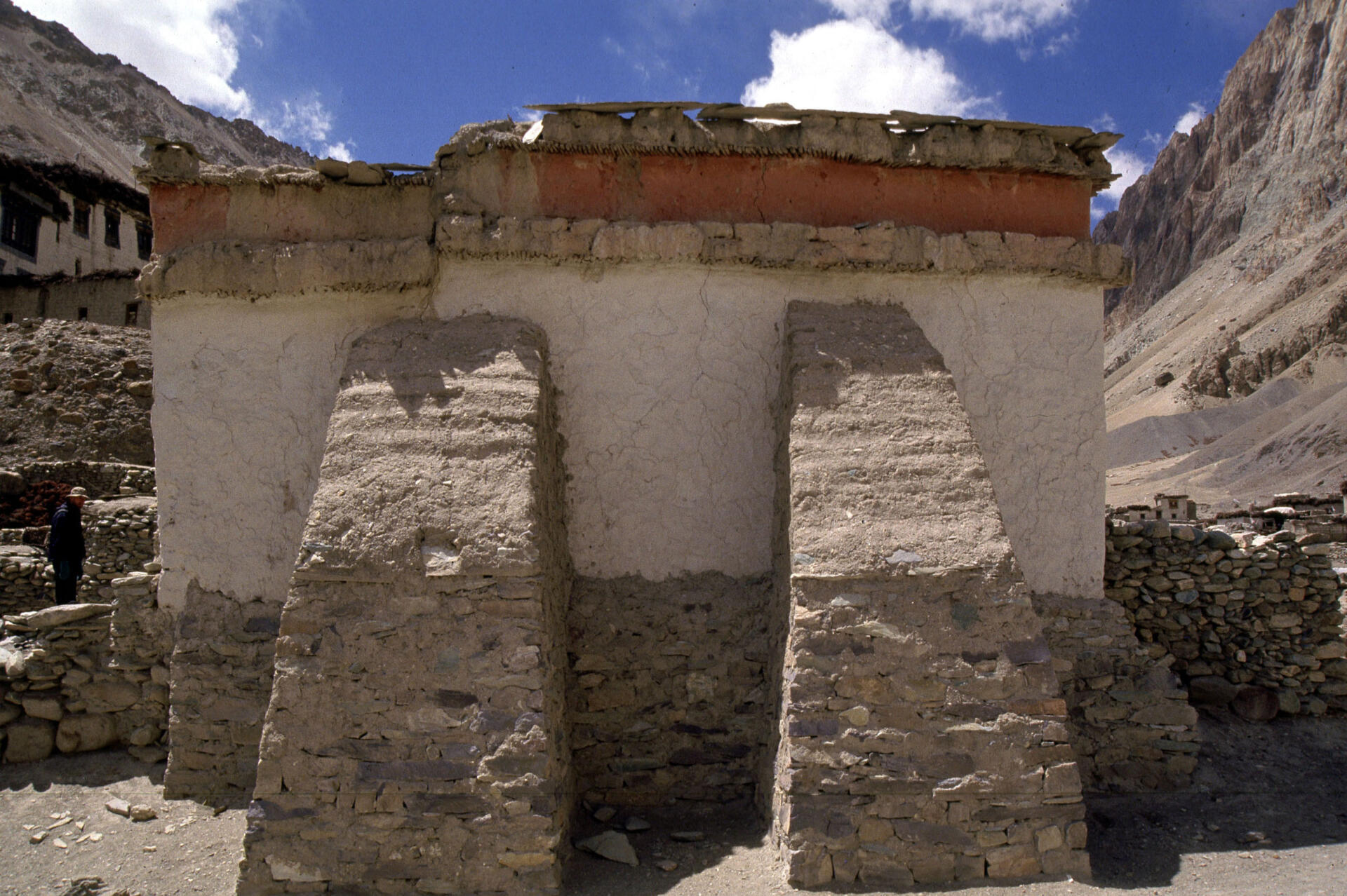
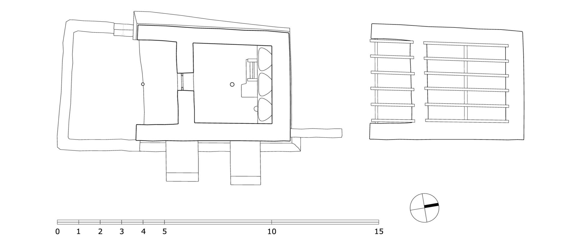
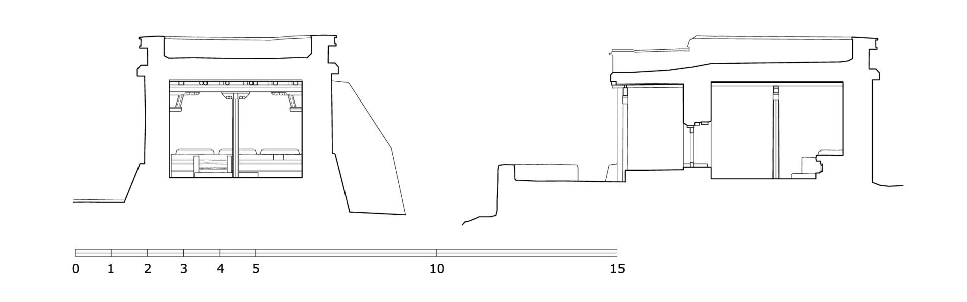
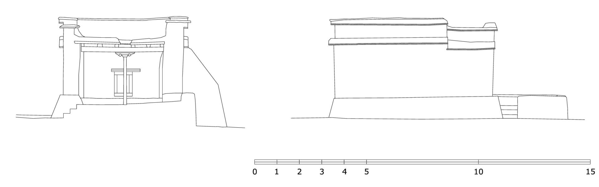
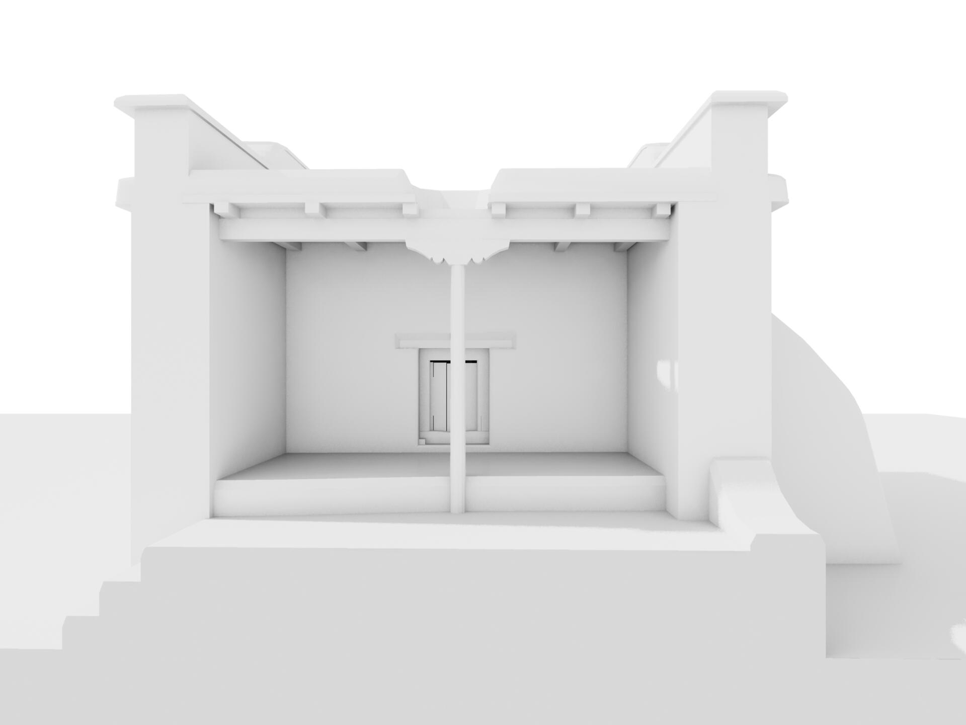
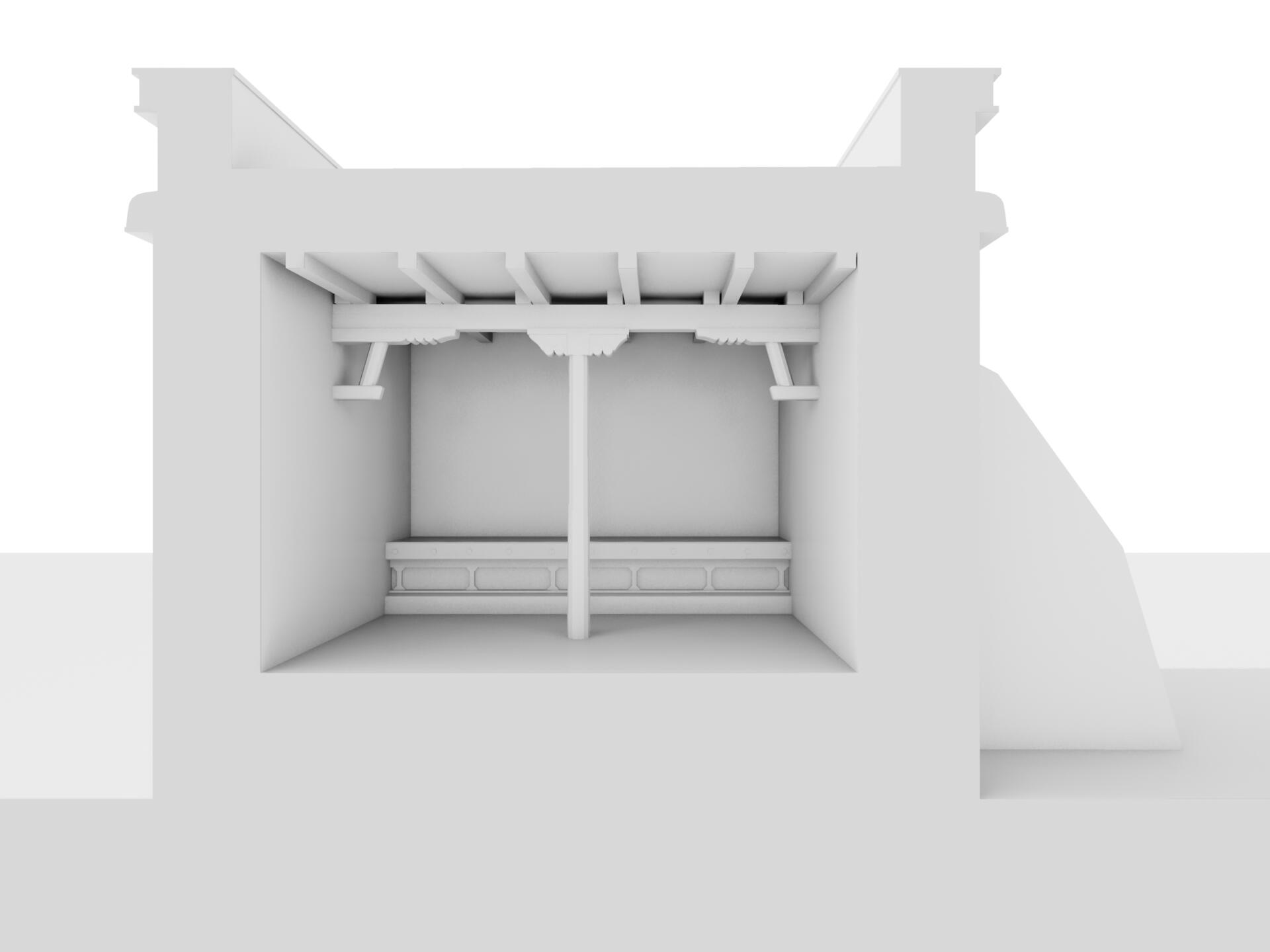
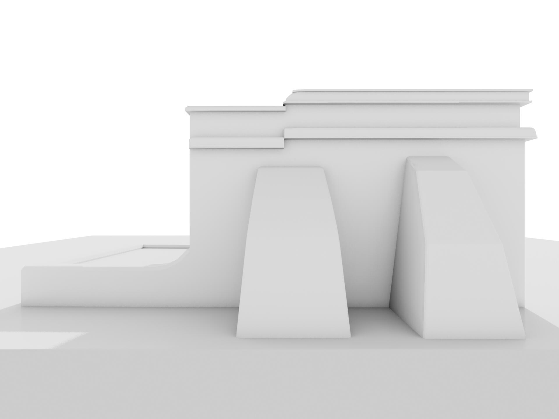
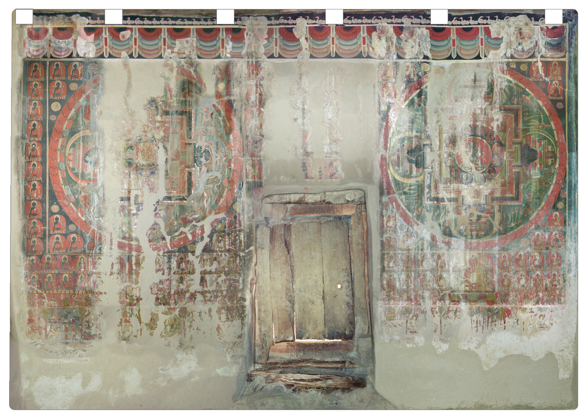
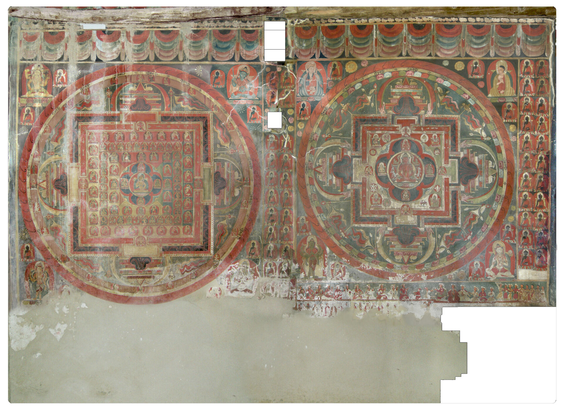
The village of Kanji is located about 90 kilometres (airline) west of Leh. Kanji can be reached using the new gravelled road which branches off the main road from Leh to Kargil and lies on the crossing of three valleys. The older part of the village is situated on a cliff overlooking the valley. The temple of Kanji lies at the foot of the village’s cliff on an open eastwards ascending site. The temple is a small square building, its mudbrick walls rest on stone foundations. On the south side an open entrance porch is formed by the extending of the two lateral walls. The porch has a central pillar and a lower ceiling than the temple. Only the small central doorway in the south provides natural light for the interior. It was reported that the temple had once a further roof, removed about 40 years ago, when the roof beams were reused for the construction of the new village gompa. The construction of the temple of Kanji presumably derives from the period when Kanji was part of a local kingdom ruled from Wanla, it is to suppose that it was built contemporaneously with the three-storeyed temple in Wanla.
Conservation and Restoration Projects: Activities of the Achi Association in Kanji.
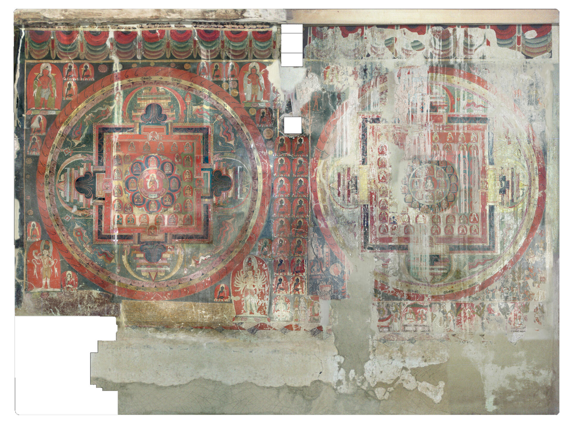
2D Plans


More from