Ladakh
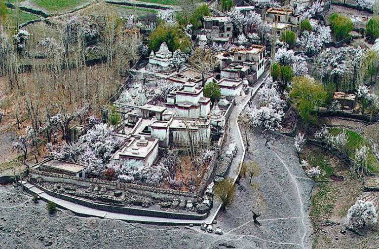
Phyang
The Guru Lhakhang of Phyang
Coordinates of the site: 34°11’35.08″ northern latitude and 77°30’28.77″ eastern longitude, at an altitude of 3692 meters.
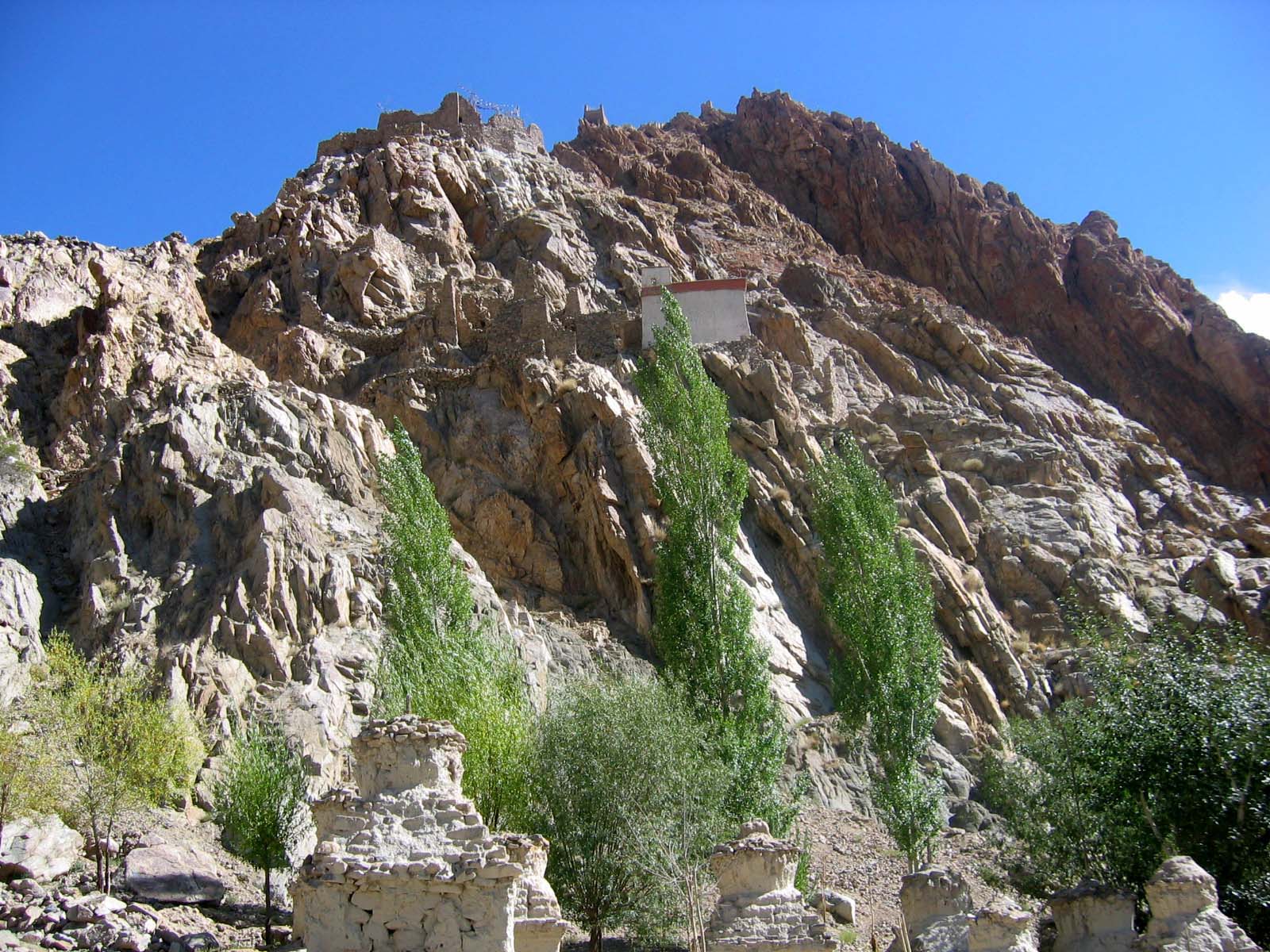
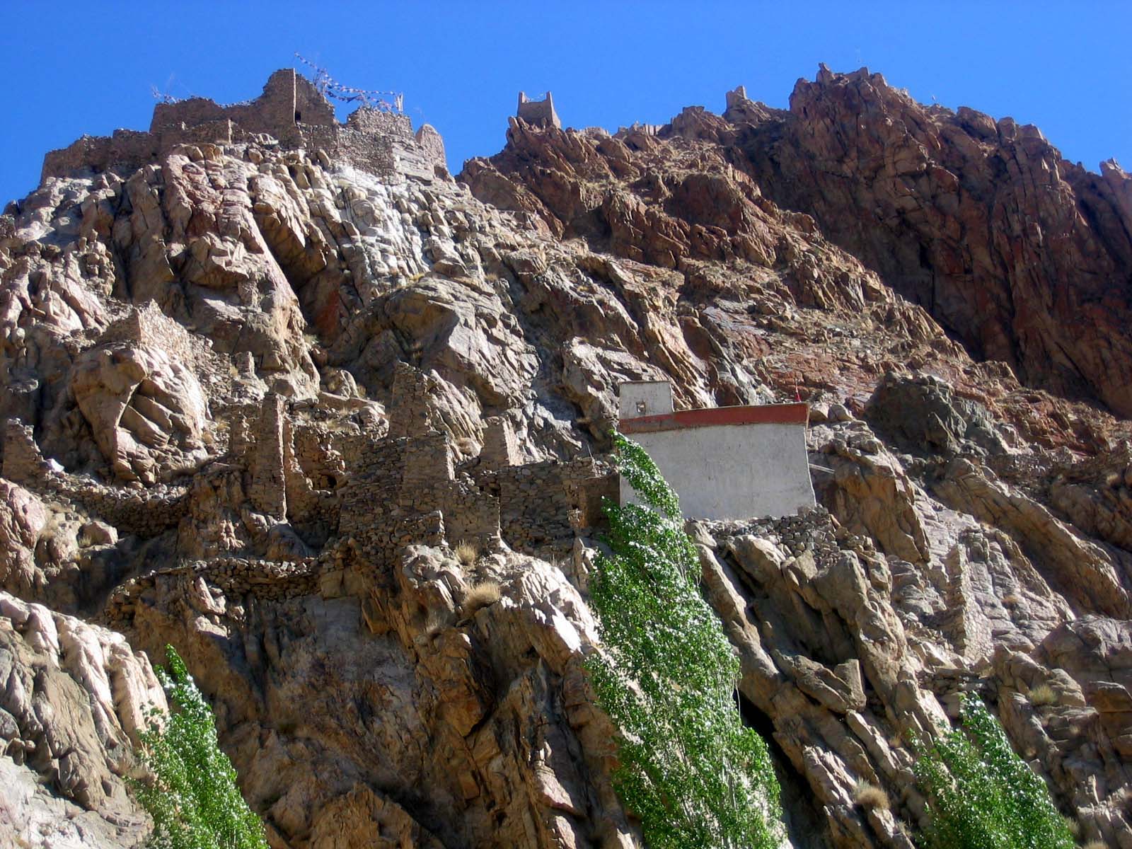
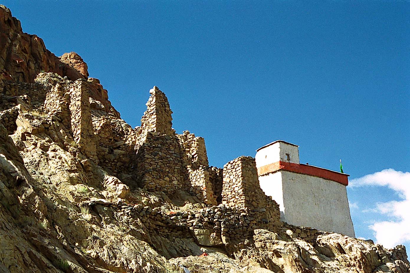
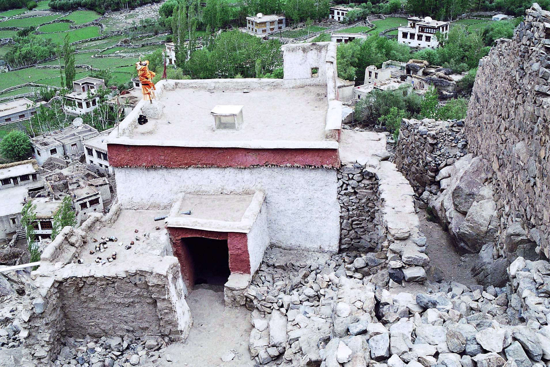
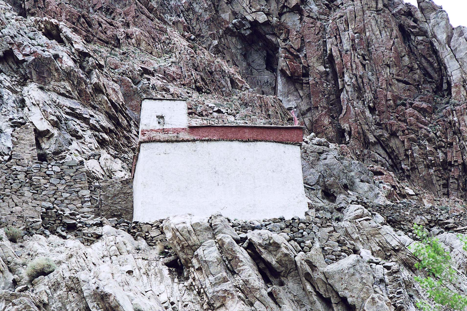
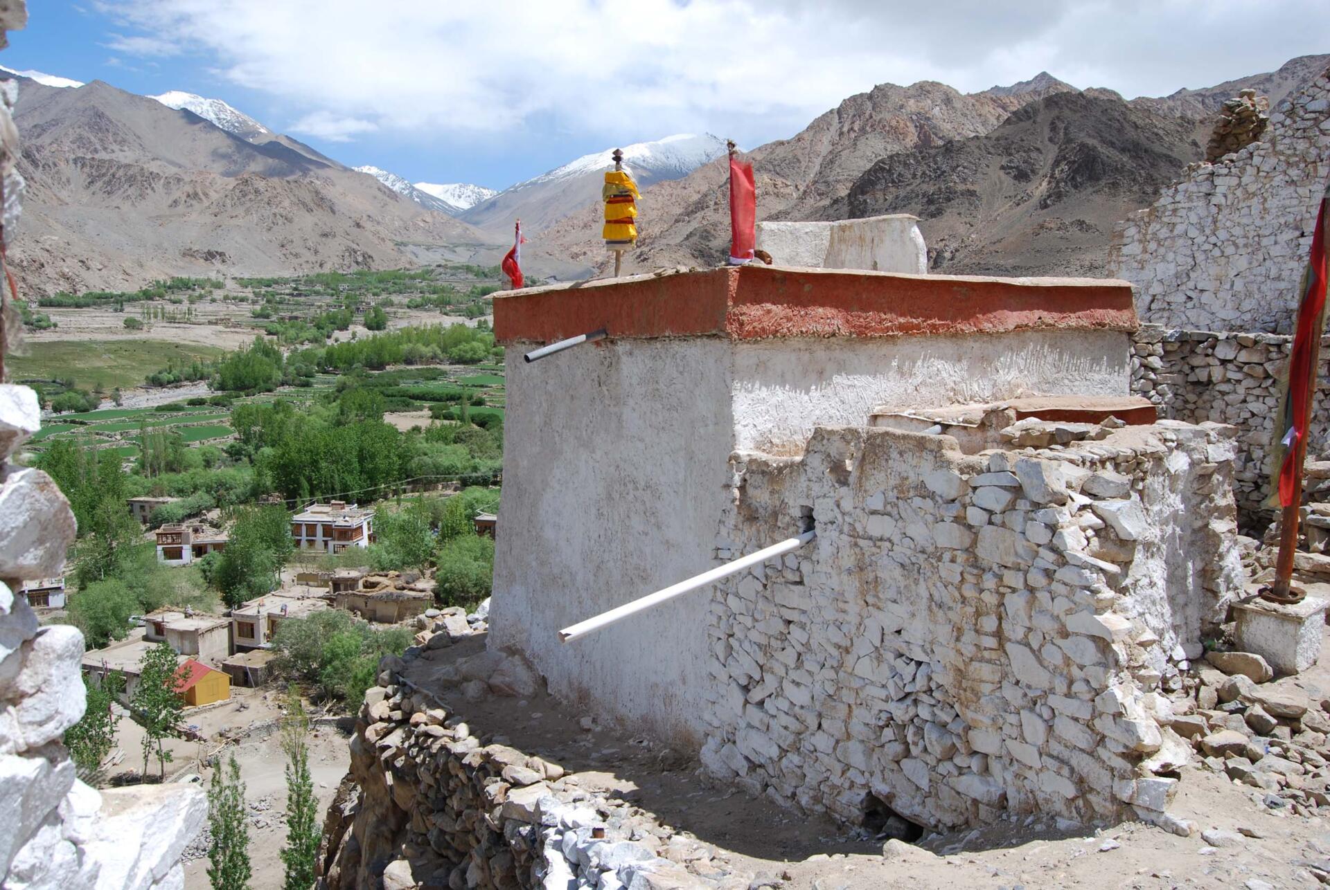
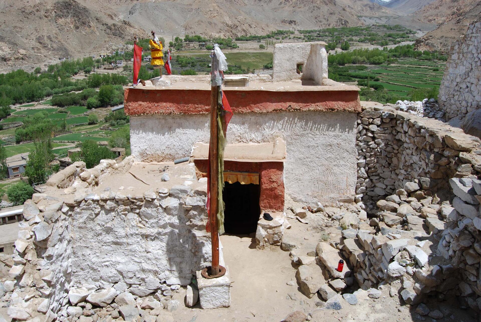
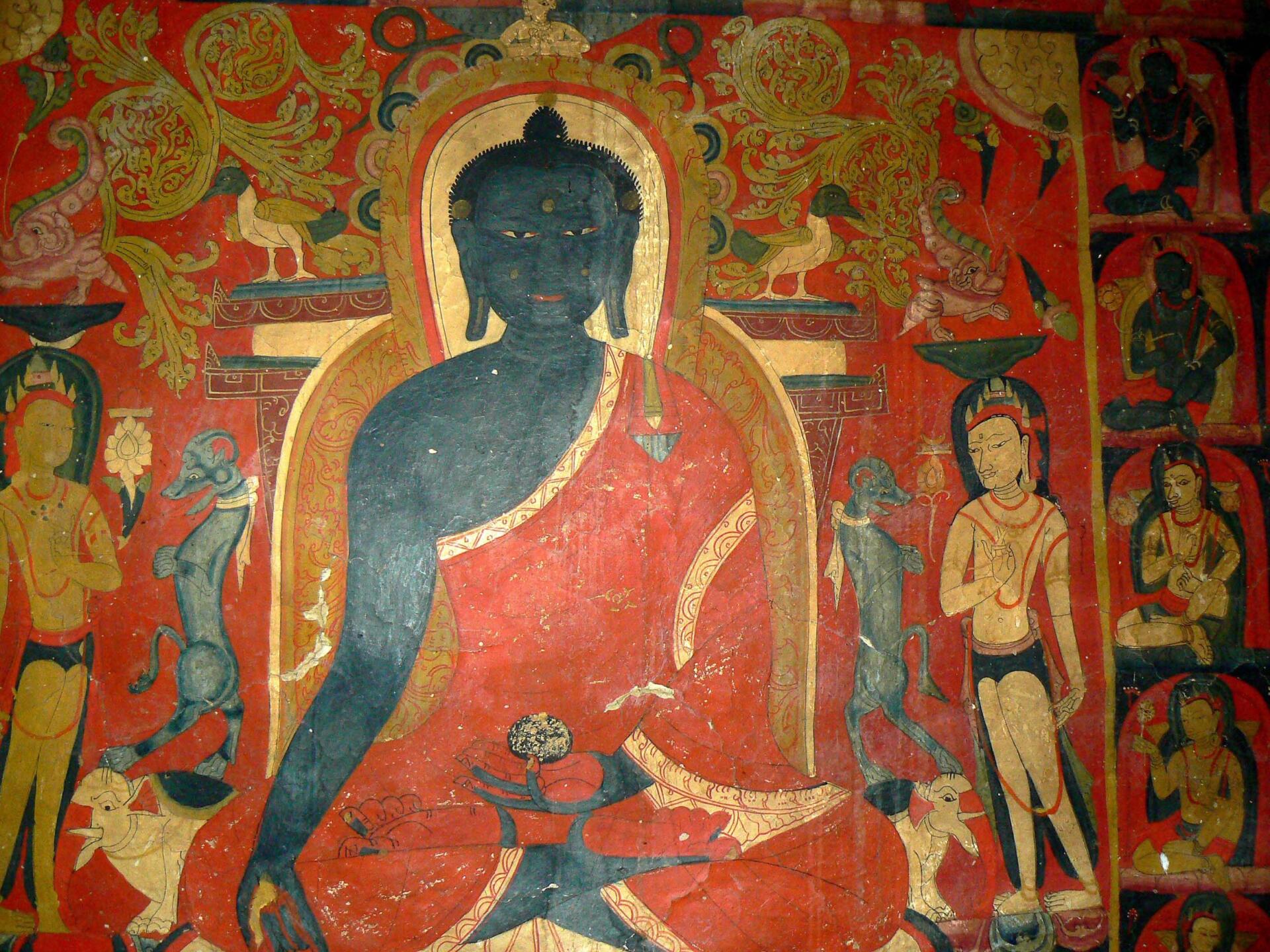
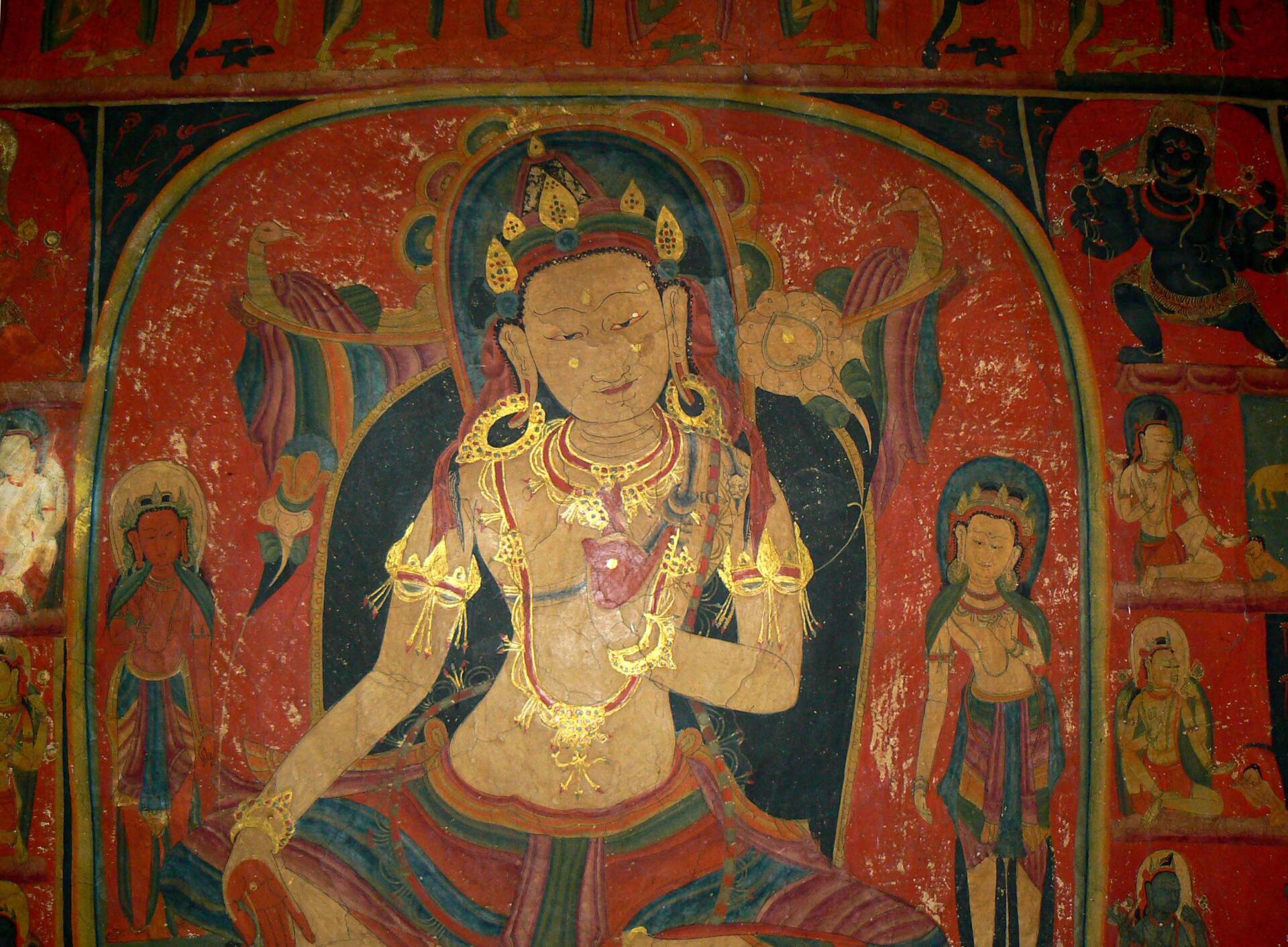
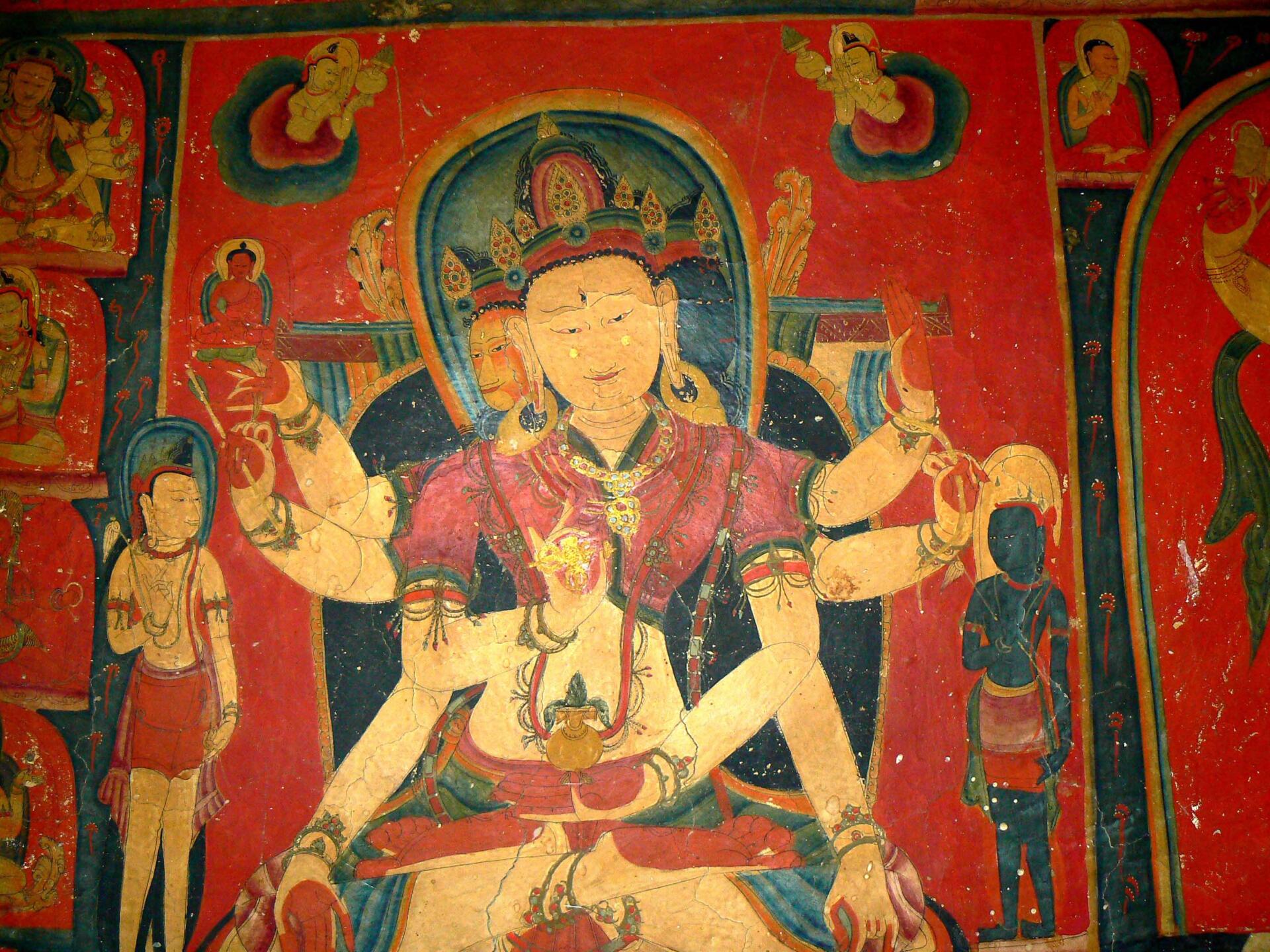
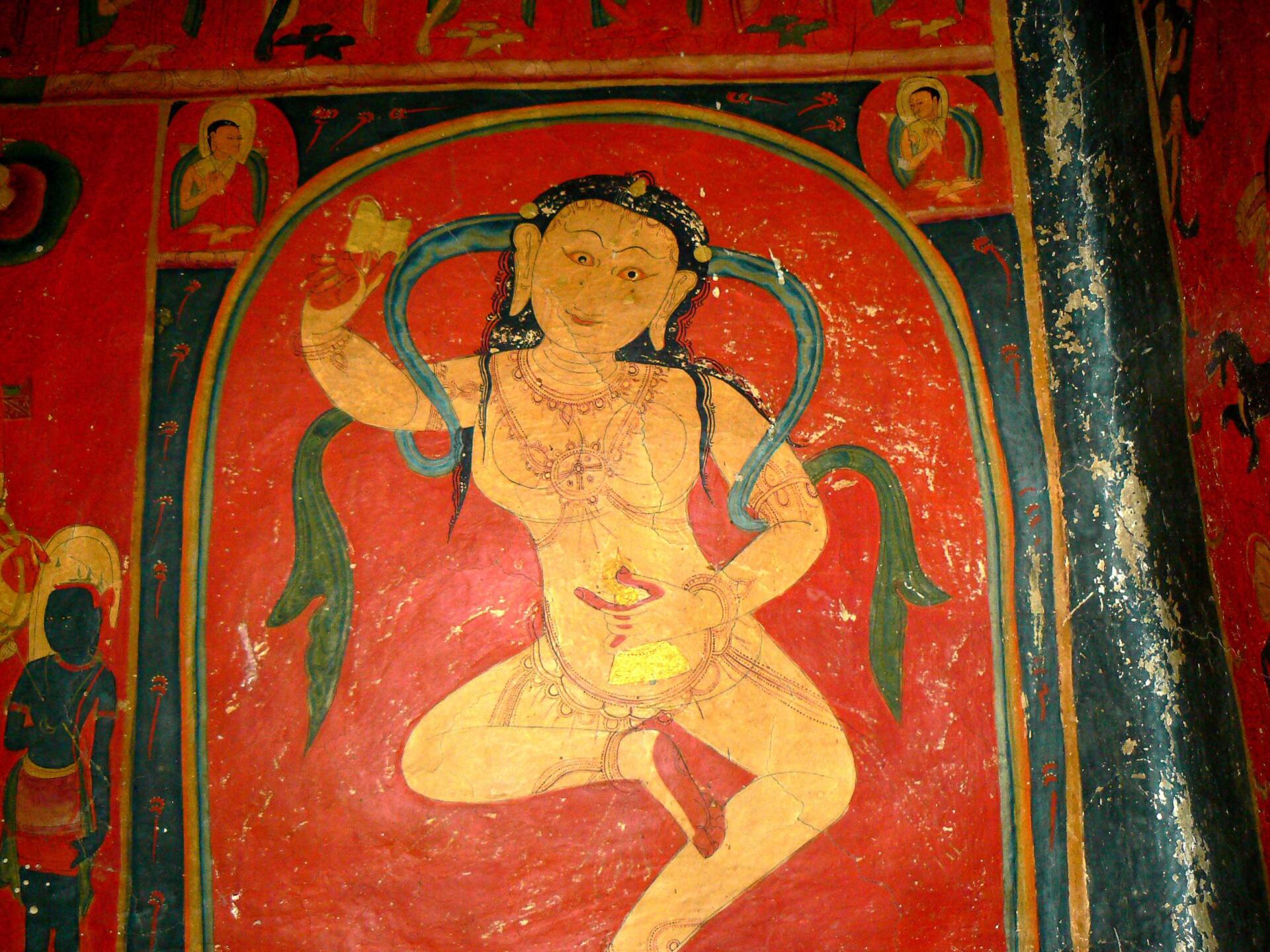
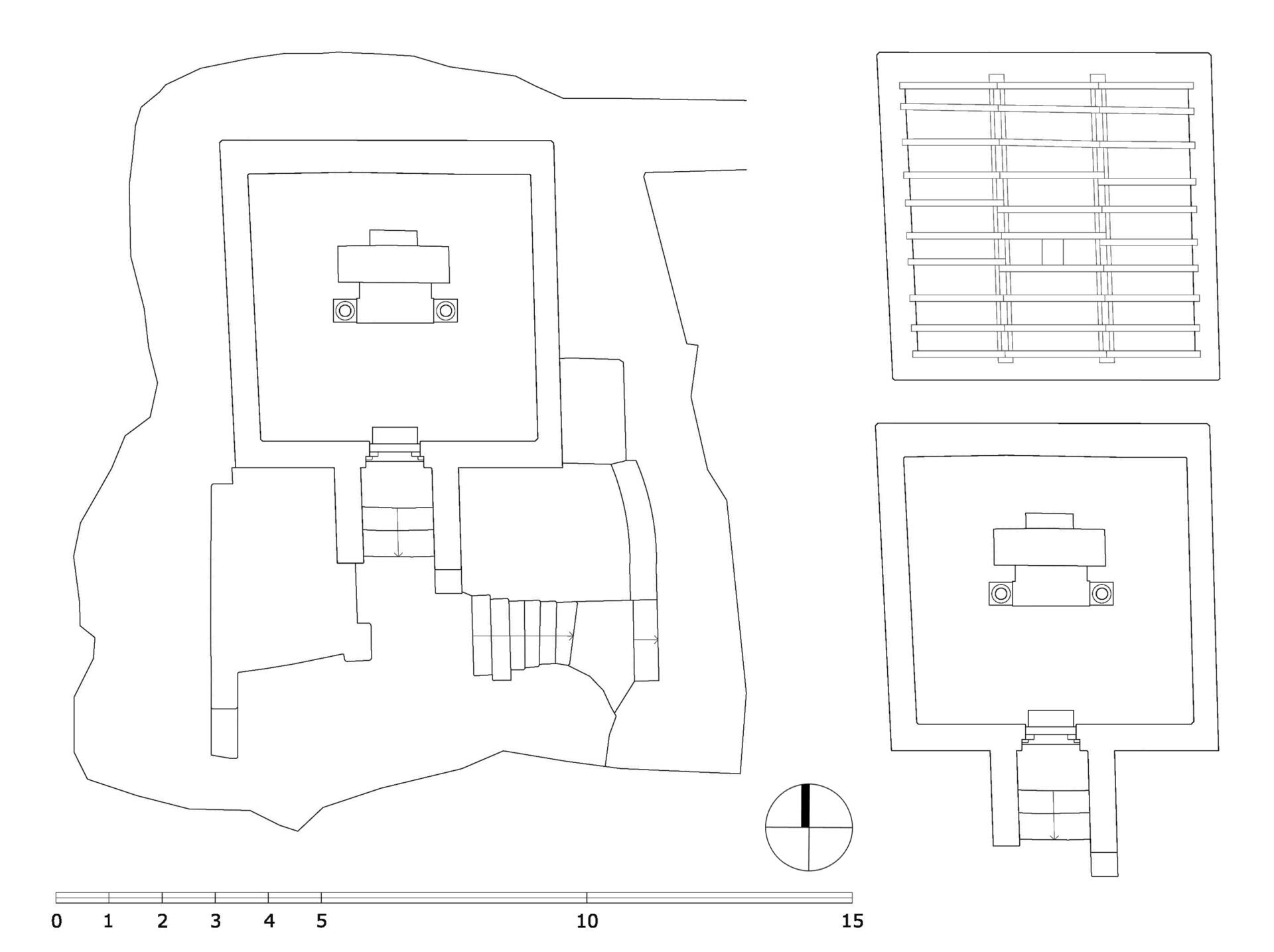
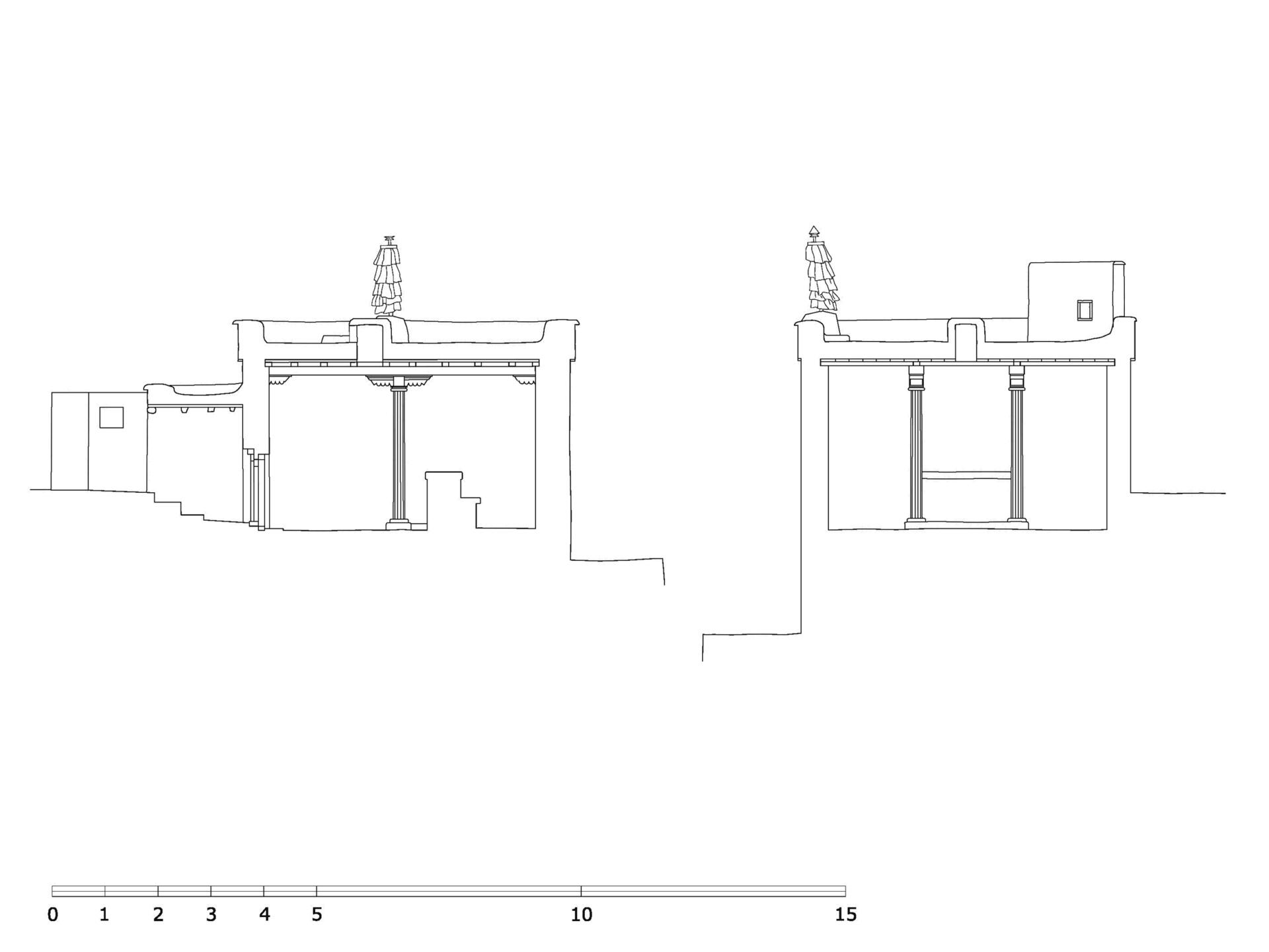
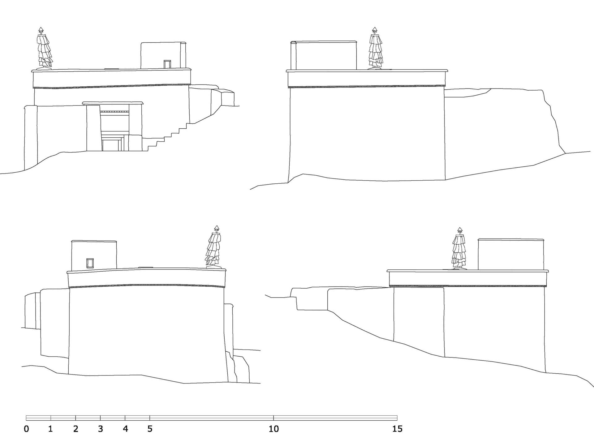
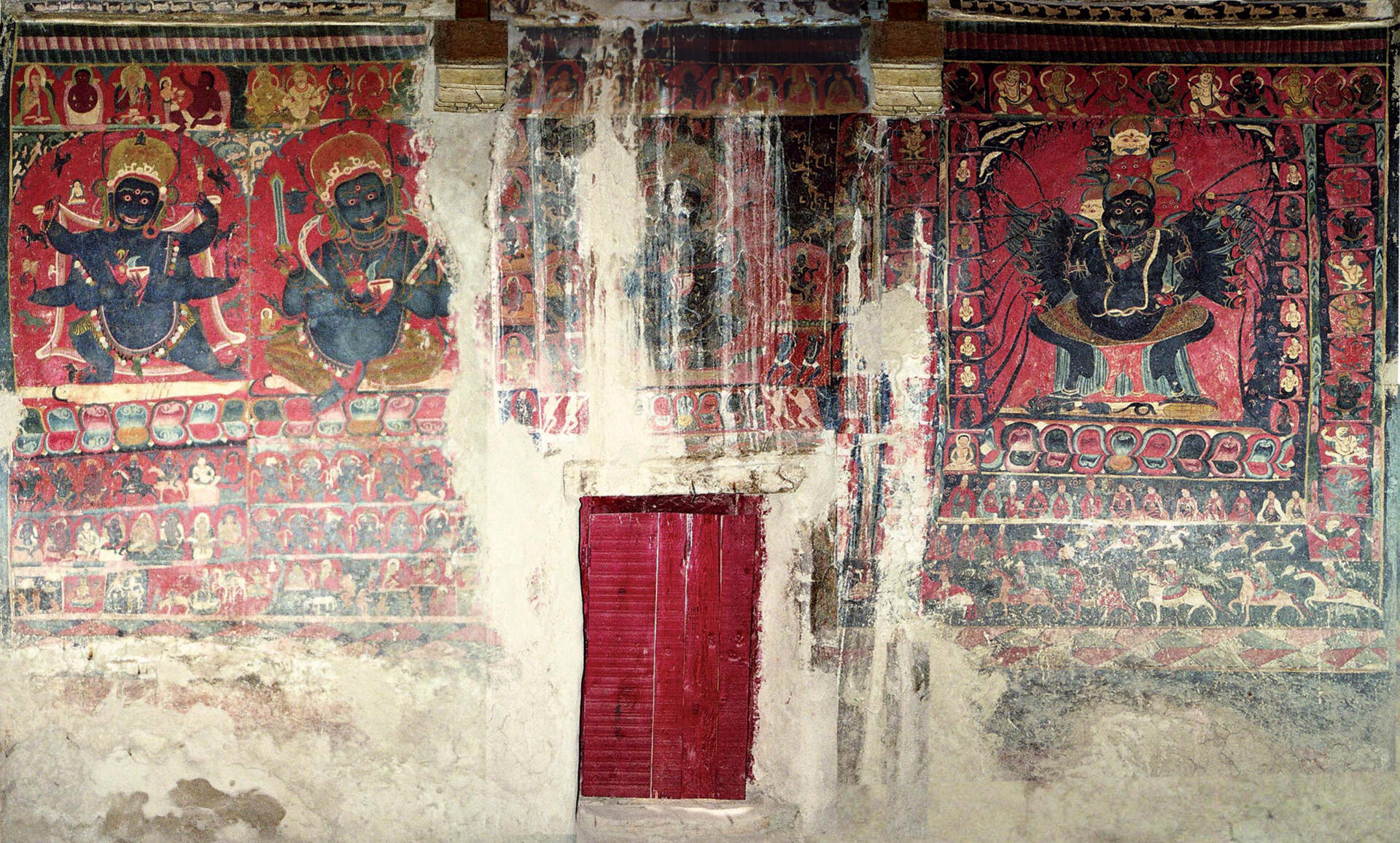
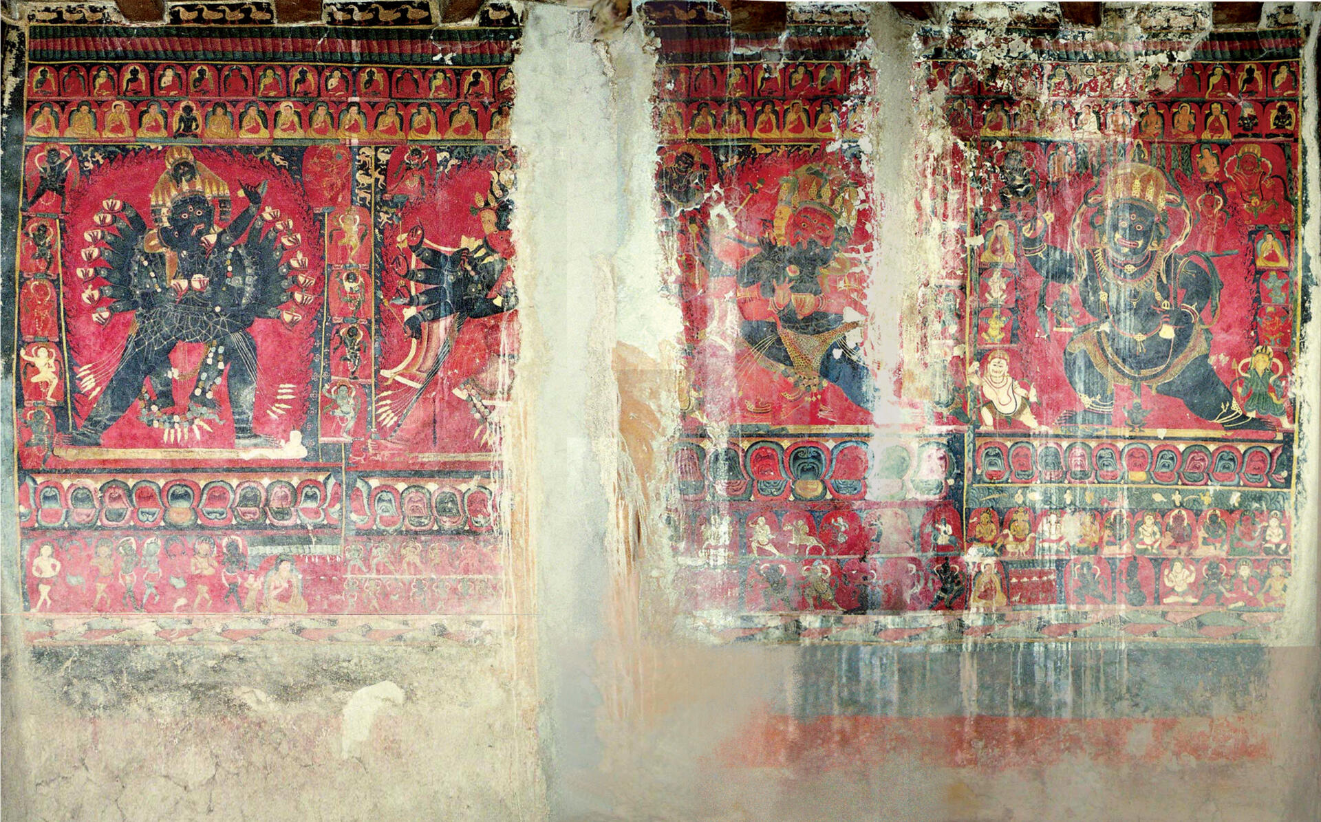
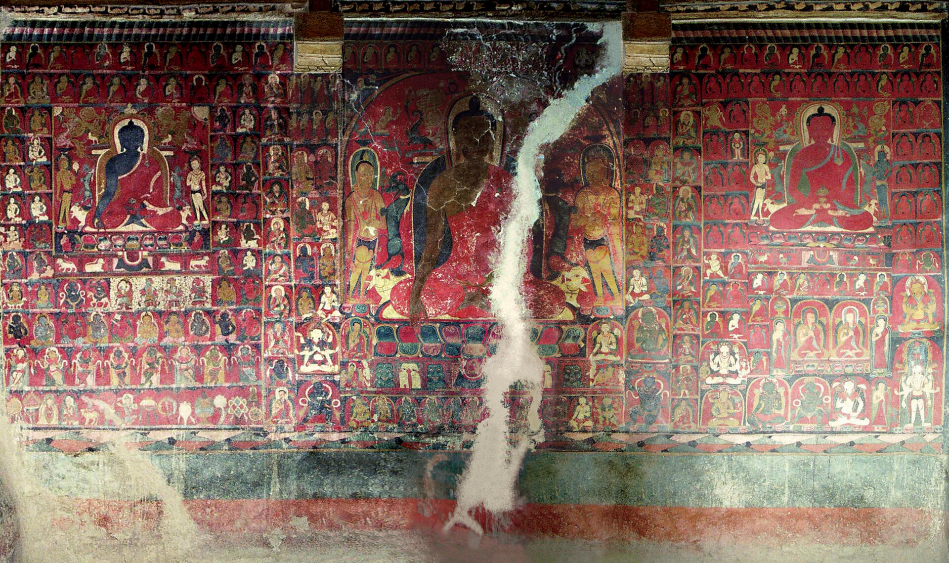
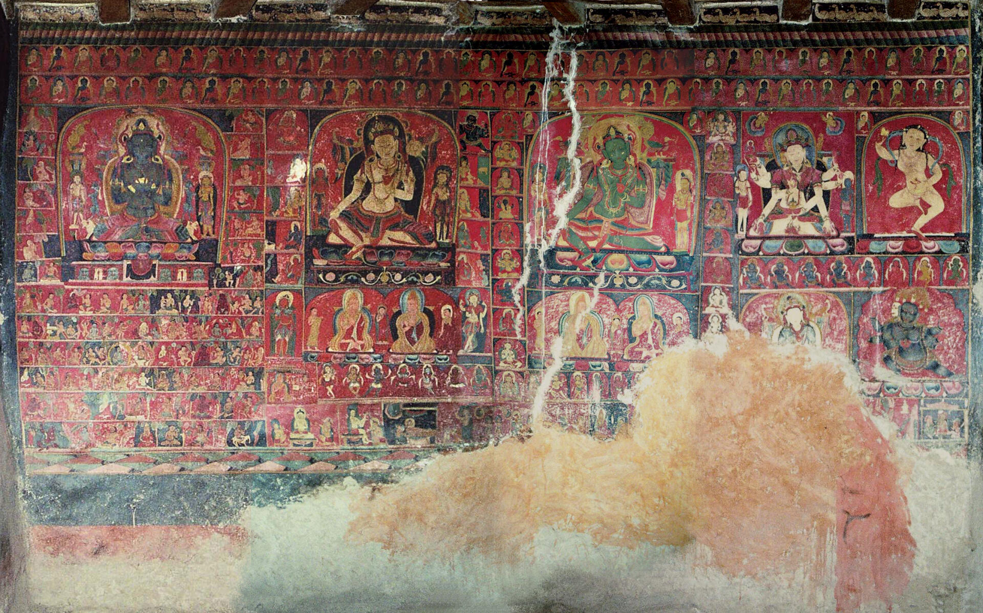
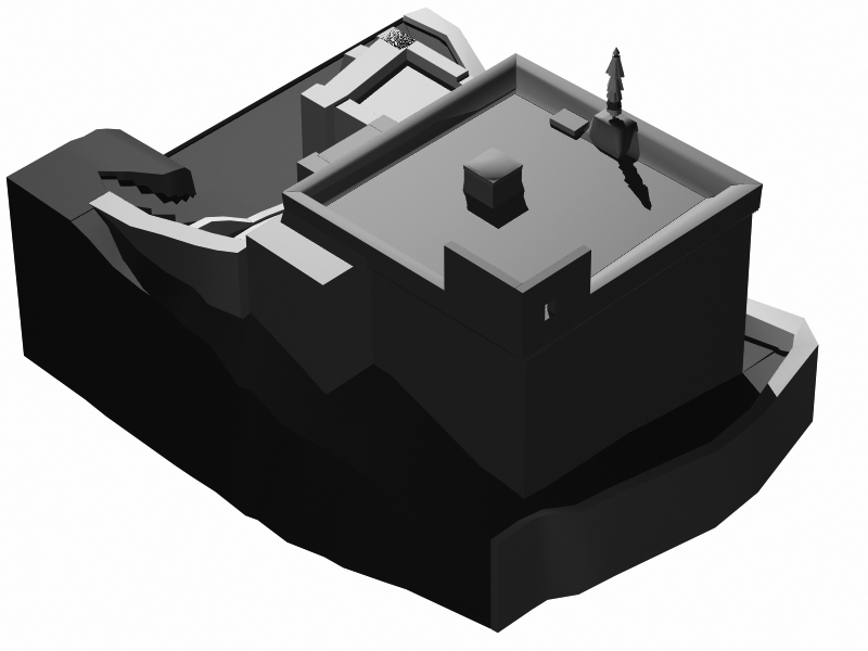
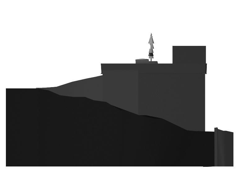
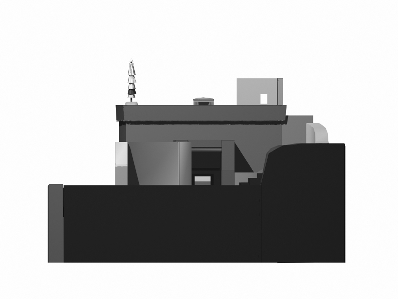
The village of Phyang is located about 9 kilometres (airline) northwest of Leh. Phyang is a small village within fertile fields in the midst of a barren mountainous landscape. Founded in the early 16th century, the entire settlement is dominated by the monastic site topping the neighbouring buildings. The temple called Guru Lhakhang is located on a steep precipice at the end of the valley, 1.8 kilometres northeast of the village. It was erected as a part of the old settlement and the castle Mrijang and is still surrounded by ruins and remains of the walls of the ancient buildings. At the foot of the mountain several chörten, which are all situated along the path, emphasise the great sacral significance of the site. From the field of chörten in the east of the ascending precipice, a narrow footpath crosses the mountain and leads straight to the edifice. Approaching the edifice from east, the footpath continues to the southern side of the temple, which is facing the rock. The temple consists of a small, nearly square room with the entrance on the southern side. Inside the edifice is 5.20 wide and 5.40 metres long, with a height of 3.10 metres. The ceiling with its small lantern is supported by two central pillars. The walls are decorated with extraordinary and well-preserved mural paintings which account for the Guru Lhakhang’s great significance in terms of art history.
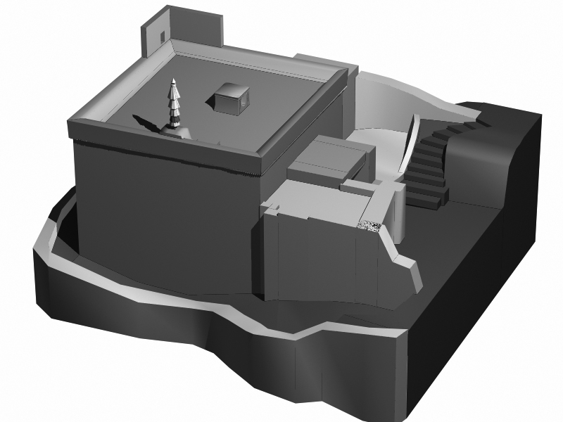
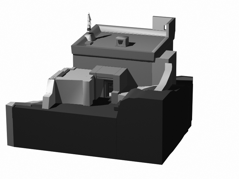
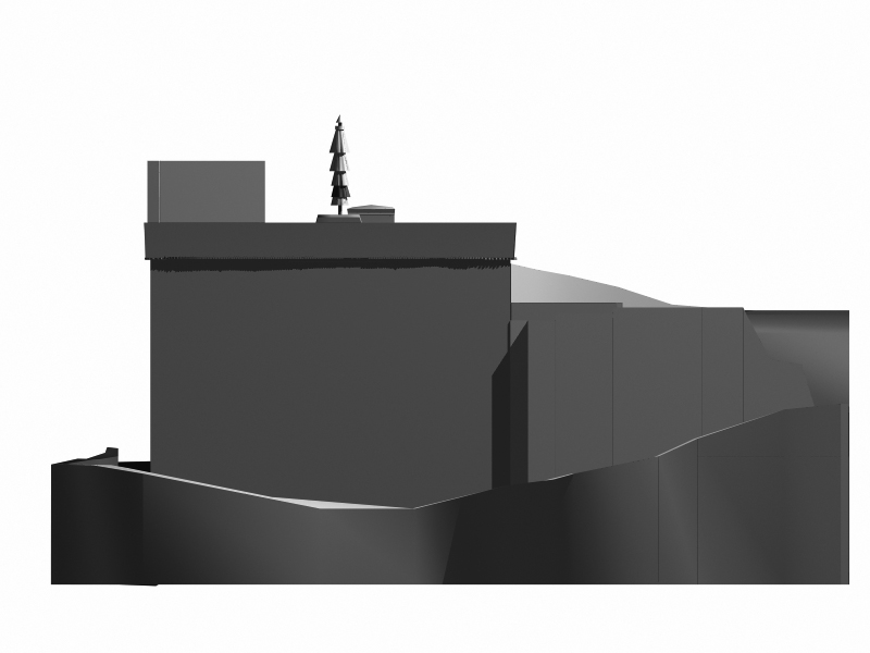
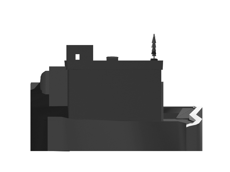
Photomontages
More from