Nepal
Crystal Mountain Gomoche
Gomoche Gompa
Coordinates: 29°22’1.38” N, 82°57’18.42” E, elevation 4434 metres.
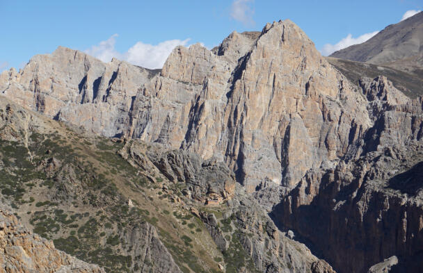
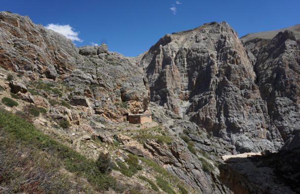
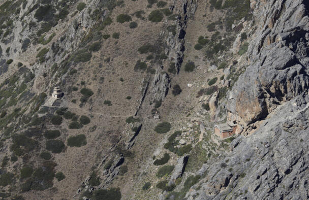
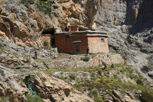
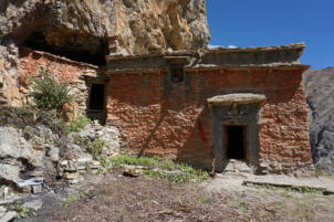
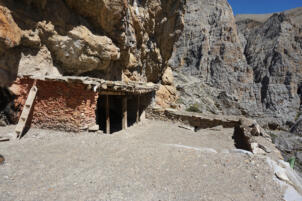
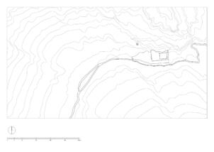
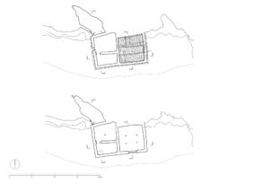
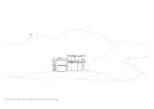
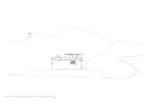
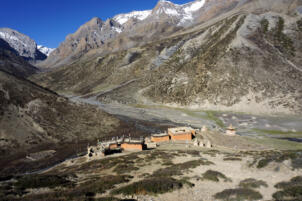
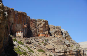
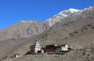
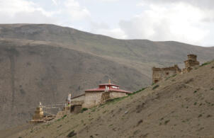
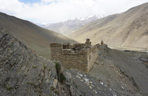
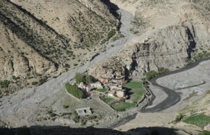
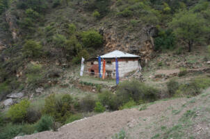
The Gomoche Gompa is located in a distance of about 4.5 kilometres northwest of Shey, north-east of the Tsakhang Gompa, in the vicinity of the Crystal Mountain. The path leads below the rock face of the Tsakhang Gompa to the north-eastern valley. As well as the Tsakhang Gompa and the Shey Sumdo Monastery, the Gomoche Gompa is part of the kora around the Crystal Mountain. The site is also known as the Vajra Cave of Shey, it was mentioned in written sources already in the 13th century (see Mathes 1999: 74-77 and Kind 2012: 242). The name refers to the foundation of the site as a cave hermitage for retraits, a tradition that continues until today. Accordingly the cave remains an integral part of the ensemble, which is located directly behind the building in the rock. Next to the cave the ensemble consists of a partly two-storied structure directly attached to it, situated on a small terrace in front of a steeply rising rock face on its northern side. The external dimensions of the building are 11.60 metres to 6.50 metres, with a height of 5.00 metres up to its flat roof.
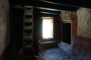
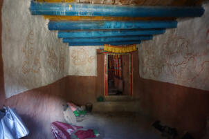
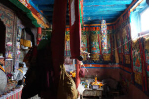
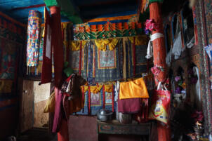
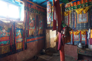
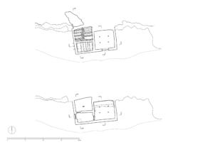
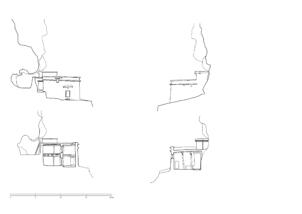
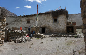
The entrance to the ground floor is located on the west side, where an anteroom gives access to a storageroom in the north and to the assembly room in the east. A ladder leads to the upper floor, where the kitchen and residental rooms are located. The assembly room is 5.50 metres wide and 5.50 metres deep, the wooden ceiling lies at a hight of 3.30 metres, supported by four pillars. A window on the southern side lights up the room, the altar with the collection of books and sculptures is arranged on the northern side.
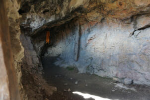
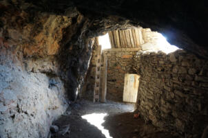
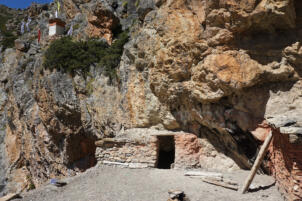
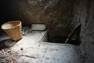
The entrance to the cave, where the floor level is approximately the same as the floor level of the upper storey, is located at the northwest corner of the building. A few steps lead to the entrance in the 3.30 metres wide outer wall, behind which the cave is located. The cave extends over a length of 9.00 metres, is 2.80 metres deep at the widest point and up to 4.00 metres high. Immediately to the right of the entrance, a ladder leads up to the roof of the gompa via another masonry opening.
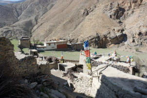
The flat roof on the east above the assembly room lies a 0.80 metres lower than the roof of the two-storied structure on the west side. On the back side of the lower east part a veranda was constructed directly in front of the rock. From the forecourt on the west side of the temple, a spring provides water supply, and the view opens wide over the south-eastern river valley.
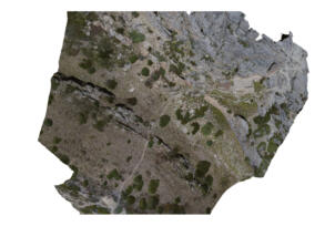
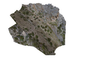
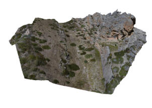
TU Graz – IGMS, Woschitz, H. & Bauer, P. (2024): 3D Model of the survey in 2022.
References: Kind, Marietta. The Bon Landscape of Dolpo: Pilgrimages, Monasteries, Biographies and the Emergence of Bon. Berlin, Peter Lang 2012:231-233. Mathes, Klaus Dieter. The Sacred Crystal Mountain in Dolpo: Beliefs and Pure Visions of Himalaya Pilgrims and Yogis. In: Journal of the Nepal Research Centre, ed. By A. Wezler, Vol XI 1999:61-84.
Photo Documentation
Interior
3D Views
More from
